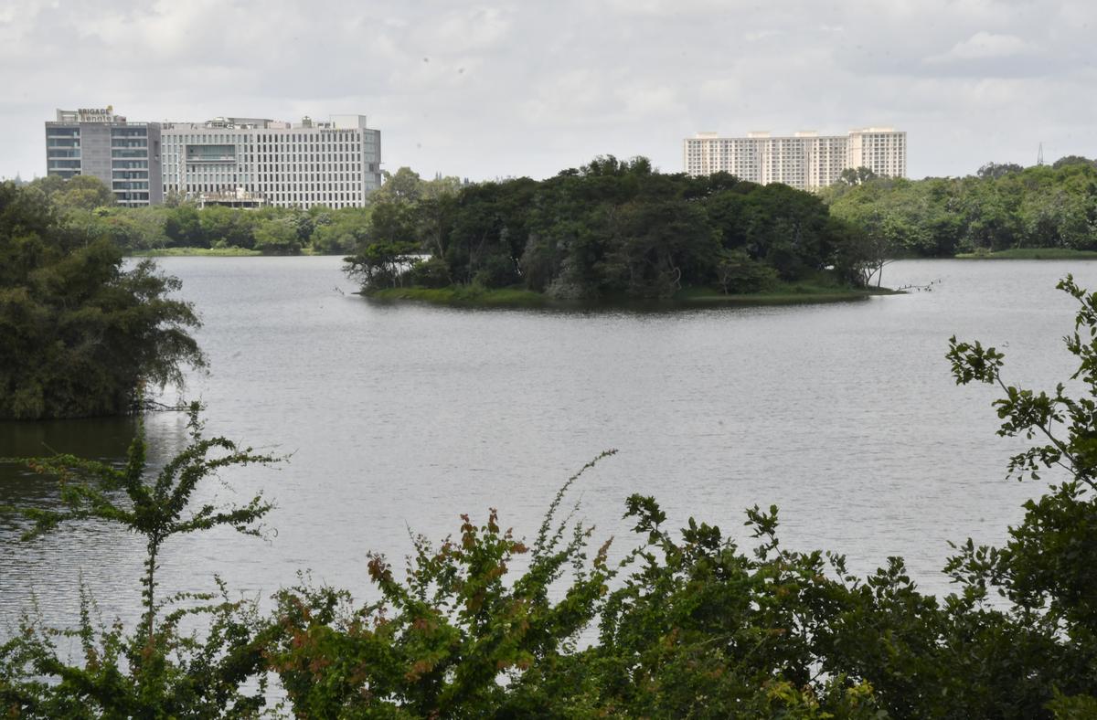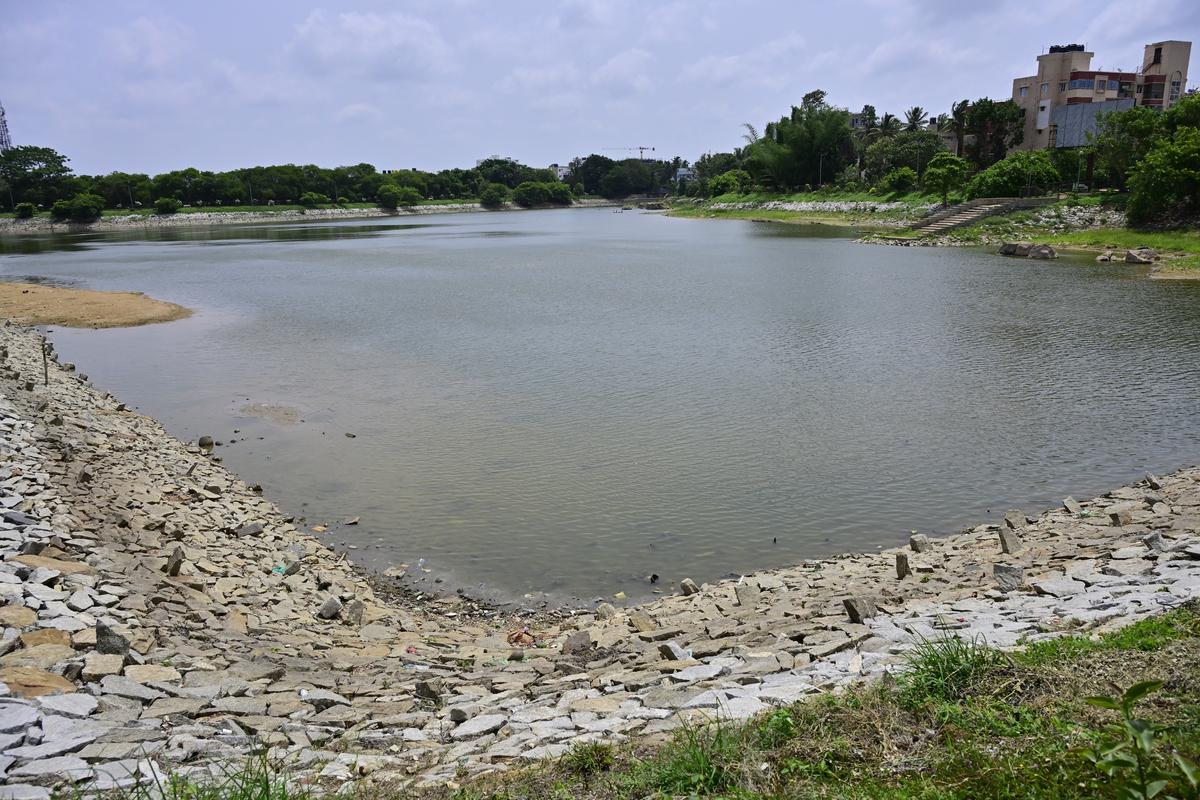
Birds congregate in the patches Doddakallasandra Lake at the back drop of High rise building , in Southern Bengaluru, on Kanakapura Road.
| Photo Credit: MURALI KUMAR K
Bengaluru
Bengaluru city has come into focus recently due to the flooding caused by unexpected, excess rains from the north-east monsoon. The flooding has taken place at diverse locations across the city. This has in turn led attention to the causes of flooding which many ascribe to the disturbed or encroached canals that carry rain water including storm water drains and rajakaluves or canals that connect lakes to each other.

Hebbal lake in Bengaluru.
| Photo Credit:
BHAGYA PRAKASH K / THE HINDU
Lost in discourse
However, what is lost in this discourse is the land that is downstream of each lake in the cascading chains of lakes spread across the city also had a role in channelling rainwater down the slopes of the three valleys that Bengaluru has. How this land has lost that role due to it getting built up on and what caused the large scale conversion of that land is the unspoken history of the lake system of Bengaluru.
Located on an average 920 metres above sea level on a plateau, there are three valleys in Bengaluru, along which a cascading series of lakes or manmade irrigation tanks have been constructed over centuries. These irrigation tanks or keres are a part of the larger history and culture of water management in South India. When these lakes or keres were constructed in the past, there was an intricate management system which tied it to lands around it, which we could call associated lands. There were two types of such lands, the wetlands or moist lands downstream of the kere locally called gadde jameen and the dry lands of which the most common type were the common grazing lands or gomala lands.

Kothnur Lake in Southern Bengaluru.
| Photo Credit:
MURALI KUMAR K
By communities
Maintenance of the kere or the lake was done locally by different communities living in villages near the lakes. For example there was a community called the Neeruganti who managed the canals or rajakalauves that carried overflow from one lake to the next lake and in the process channelled water into the moist lands downstream. These moist lands were used to cultivate various crops including rice and sugarcane. Located in the bundh or embankment of the lake were sluice mechanisms, smaller versions of those seen in dams, to regulate the flow of water into the cultivated moist lands. The bundh was maintained by yet another community historically. All of these maintenance systems were recorded by British gazetteer B.L Rice in the Mysore Gazette in 1897 and was further encountered by this writer when he researched the lakes of Bengaluru.
Connected to this maintenance system of the lakes was a land tenure system called the Inam system. Under this system, lands associated with the lakes were granted to people living in the village based on the livelihoods that they pursued.
The various inam tenure lands included service inams, thotti/neeruganti inams, and poojari inams. Service inams included land granted to those who provided services to the village such as hair cutting, disposal of carcasses, playing of the tamte, a drum during announcements and special occasions. Thotti/neeruganti inams enabled those who maintained the kere and the canal system to be granted land in return for their services. Poojari inams were given to the priestly class.
Thus land was granted to various communities of people providing various services in the village. Land thus granted also included the moist land downstream of the lake commonly called wetlands or gadde jameen, upon which cultivation took place.
Abolition of inams
The abolition of the inam system took place through various legislations, starting from 1954 and culminating in the Karnataka Certain Inams Abolition Act, 1977. Under these acts it was deemed that holders of inam lands shall be entitled to be registered as occupants of these lands. This regularisation of inam lands including moist lands or gadde jameen downstream of the lakes meant that these lands were private property. The act exempted from private ownership certain common lands such as tank beds, the earlier mentioned gomala or grazing lands.
This is what differentiates the lake system and its unique wetland system from the commonly understood wetlands which are a transitional zone between water bodies and dry lands. They are seen more often in naturally formed lakes and are considered common land to be protected and not privately owned. The Ramsar convention is an international treaty put in place to conserve wetlands across the world in 1971. Several wetlands in India are designated as Ramsar sites, which include Ashtamudi Lake in Kerala, Ranganathittu Bird Sanctuary in Karnataka, and Loktak Lake in Manipur.
Land use history
The lakes in Bangalore and the moist or wetlands are not covered due to their specific economic and land use history. This is further established by The Wetlands (Conservation and Management) Rules of 2017 of the Indian government which does not include paddy fields or other areas used for such commercial activity as wetlands.
This all brings us back to the wetlands or moist lands of Bangalore which were historically privately owned and cultivated upon. As the city urbanised there was a transition and transformation of these lands as well. Pressure from real estate meant that these lands were sold and converted into built up land. The author has seen this happen with such lands downstream of lakes such as Bellandur and Varthur, which in the mid-2000s were still cultivated upon but now are the location of large apartment complexes.
This approach to developing such land downstream of the lakes which defied the earlier agrarian logic of not building in the channel between two lakes in a lake series, has meant that water that used to be channelled earlier through the cascading lake system via rajakaluves or canals as well as the downstream moist lands, is now limited to the canals.
Rescue workers move stranded residents of an apartment in a boat after it was flooded due to heavy rains, at Yelahanka Kendriya Vihar, in Bengaluru on October 22, 2024.
| Photo Credit:
MURALI KUMAR K
Pressure on canals
This pressure on the canals and various encroachment of them has meant that in a situation of excess rain, which we are seeing more often now due to climate change, the city will be prone to flooding. More so, those apartment and commercial complexes built in either lake beds or in moist lands downstream of lakes.
Recognising this unique history of the lake system in Bengaluru and its associated lands is key in understanding the flooding that we are seeing more often than not in the last few years.
(The author is an independent educator. He has also researched the lake system of Bengaluru with a focus on political ecology.)
Published – October 28, 2024 09:00 am IST


